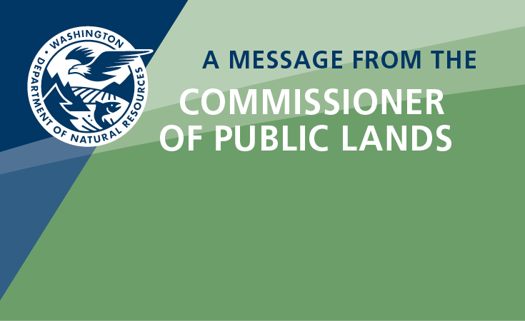
Geologic planning involves cooperation between a variety of stakeholders. Geologists, land-use planners, emergency management staff, and others work together to map mineral resource lands, recognize the importance of climate change, identify natural hazards, and mitigate the impacts of these natural hazards on communities.
Calling all land-use planners! Take our survey!
At WGS we strive to provide the best-available science in a way that can be understood and used by our stakeholders. We would like to better understand whether our products are meeting the needs of land-use planners. Please take 5-10 minutes to let us know about your experiences using our products to make planning decisions! Click here to take the survey.
Meet our Geologic Planning Liaison!
What is geologic planning and why have it at WGS?
Washington Geological Survey (WGS) scientists are experts in Washington State geology, and our research touches on many aspects of geology including geologic hazards, mineral resources, and climate resilience. All of these topics are relevant for society, and our work contributes to the safety and economic well-being of Washington’s residents. We provide reports, maps, and other geologic products, and engage in outreach to support decision-making across multiple levels of government within Washington State.
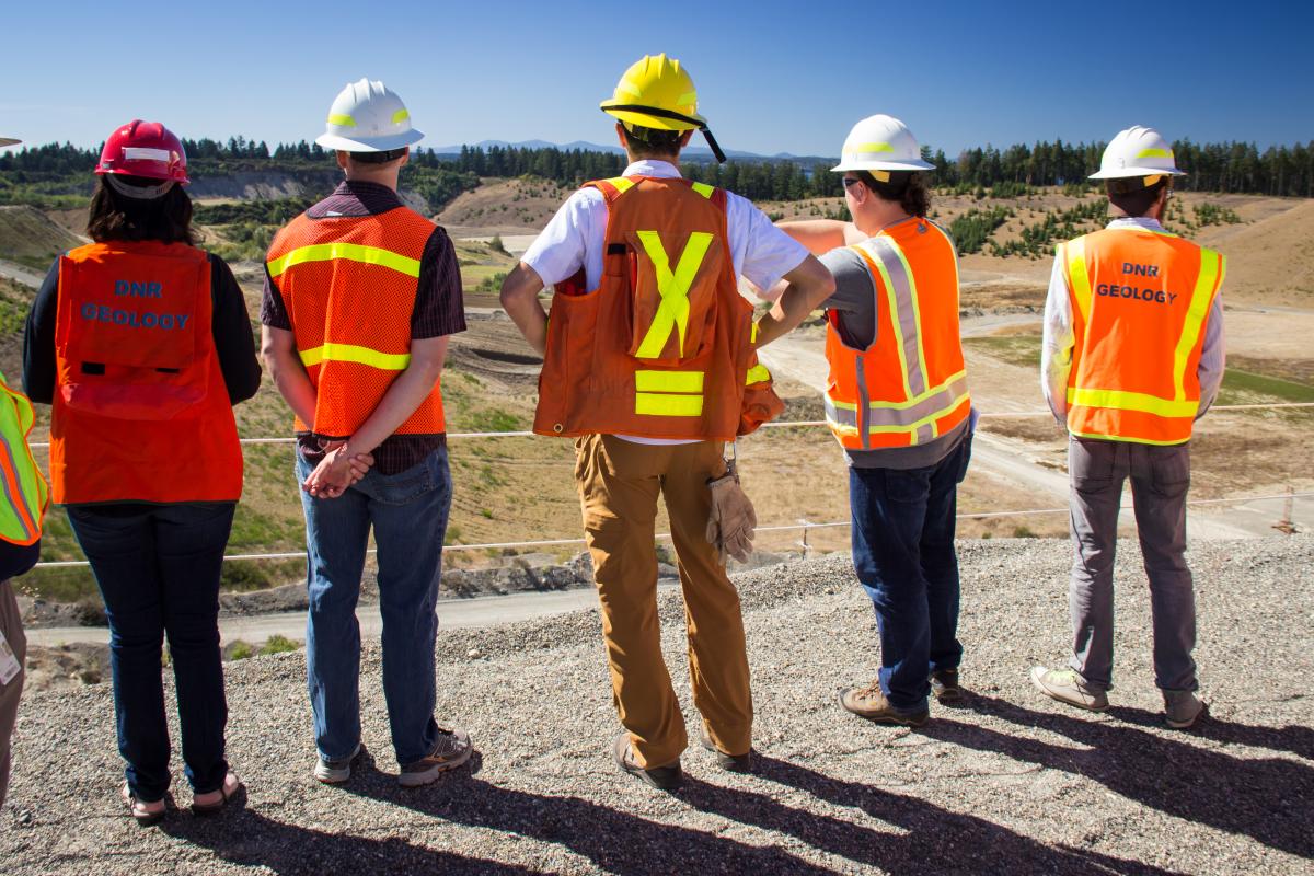
WGS has established a Geologic Planning Liaison position to more effectively connect science at WGS with other state agencies, local jurisdictions, and tribes. The Geologic Planning Liaison works with planners, geologists, and other professionals in local, state, and tribal jurisdictions across Washington. By gathering feedback and providing guidance and resources, we hope to better understand local decision-making and improve communication between WGS and these entities. This sharing of information helps build resilient communities.
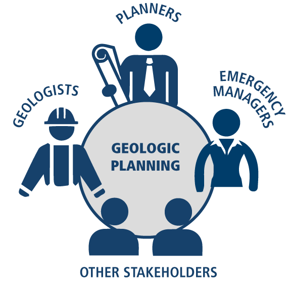
This diagram shows how risk is influenced by the hazard itself, the value of people and property, and the vulnerability of those people and property to the hazard.
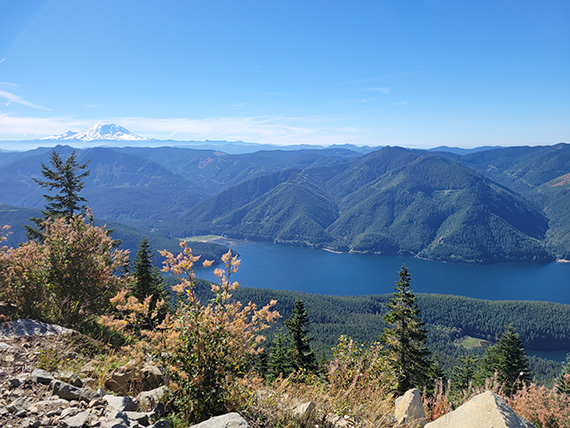
In Washington State, the most significant geological hazards are earthquakes, tsunamis, volcanic events, and landslides. Other geologic hazards include subsidence above improperly reclaimed mines and exposure to hazardous minerals like radon. Climate change and human alteration of the environment exacerbate the impacts of natural hazards on people, property, and infrastructure, increasing the need for hazard identification and efforts to minimize risk and mitigate impacts.
Geologic planning and growth management
- Growth Management Act
- Critical areas and best available science
- Mineral resource lands
-
Communities grow and change over time. This growth introduces issues such as increased population, aging and overburdened infrastructure, increased traffic congestion, pollution, school overcrowding, urban sprawl, a loss of resource lands, and a loss of rural character.
In response to these issues, the Washington Growth Management Act (GMA) was adopted in 1990. The GMA is codified in the Revised Code of Washington (RCW 30.70A) and in the Washington Administrative Code (WAC) in several chapters identified in this webpage. The GMA is written to provide common goals and requirements in land-use planning to address problems with uncoordinated and unplanned growth across Washington and to protect natural resources.
The GMA requires local governments to adopt comprehensive plans and development regulations to guide future growth and development. Comprehensive plans and development regulations help shape land-use, natural hazards mitigation, emergency management, and other decisions that take into account factors such as, but not limited to, geologic hazard locations.
Local governments must complete periodic updates to ensure their plans and regulations address new legislation, emerging issues, and community needs. For more details on GMA requirements and goals, check out the Department of Commerce's Growth Management Act webpage, and the provisions of the RCW and the WAC noted throughout this webpage.
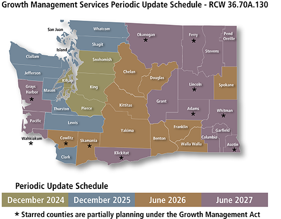
The map shows the periodic update schedule for each county in Washington. The color code indicates the year the periodic update is due for that county and the cities within. In 2024 and 2025 the due date is December 31. In 2026 and 2027 the due date is June 30. The 11 starred counties are subject to critical areas and natural resources lands requirements only. This graphic is modified with permission from the Washington State Department of Commerce.
There are at least three key areas in the GMA that WGS can provide more collaboration and technical assistance on: critical areas (which contain geologically hazardous areas), best available science, and mineral resource lands.

Where WGS contributes to GMA critical areas and planning
The Geologic Planning Liaison plays an essential role in sharing WGS resources with agencies and jurisdictions, and in understanding agency and jurisdiction needs to better inform future WGS science. Our outreach and communication will be more comprehensive across the state, and be more specifically targeted to address individual jurisdictional and agency needs. The Geologic Planning Liaison works with staff from the Department of Commerce to help local jurisdictions access and use our science to inform policy decisions. With that in mind, we note below some of the specific areas where WGS contributes and can help local jurisdictions achieve their goals related to the GMA and land-use planning.
- Geologically hazardous areas WAC 365-190-120: Erosion, Landslide Hazards, Seismic Hazards, Volcanoes, Tsunamis
- Mineral resource lands WAC 365-190-070: Sand, gravel, and metallic mineral resources
- Best available science WAC 365-195: What it is and how to obtain it
- Climate Commitment Act Implementation
How can WGS geologic planning help you?
- Provide the best available science for many geologic hazards.
- Discuss the appropriate uses of our data and maps.
- Provide assistance with communication for local outreach about WGS science.
- Provide examples of land-use codes, outreach, and tools used by other jurisdictions.
- Review land-use codes related to geologic hazards.
- Assist with GMA periodic updates. For example, by identifying the best available science for geologically hazardous areas, reviewing proposed comprehensive plan language, and providing tools for integration of scientific information into implementation provisions.
Sample projects that the geologic planning liaison collaborates with WGS scientists on
- County-based aggregate resource mapping
- Landslide inventories
- Climate Commitment Act contributions
- Carbon sequestration research
- Tsunami hazard assessments and evacuation planning
- General geologic hazards education and outreach
- Land-use code reviews for geologic hazards
- Integrating WGS science into natural hazard mitigation planning