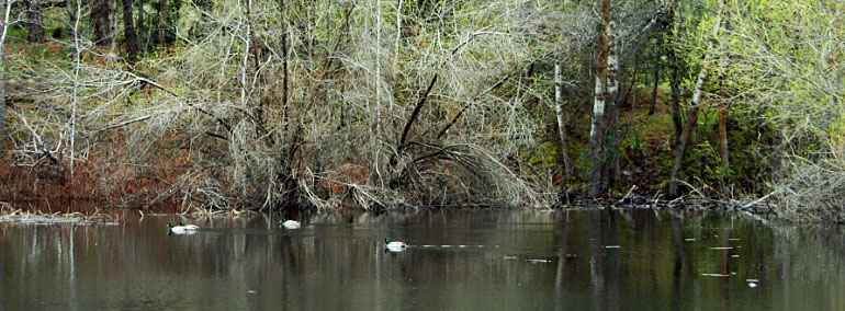
Dishman Hills Natural Resources Conservation Area

Impacted by flooding from Glacial Lake Missoula in Montana, the resulting landscape of scoured out potholes, ponds, ridges, and gullies support grassland ledges speckled with ponderosa pine and habitat for one of the last remaining populations of water howellia, an endangered plant.
Wildlife using the site include coyotes, weasels, squirrels, chipmunks, marmots, porcupines, cottontail rabbits, and white-tailed deer. Raptors, ruffed tailed grouse, pheasants, and more than 50 species of butterflies are also present. Camp Caro, a county park at the north end of the Dishman Hills, serves as a start-off point for outdoor education classes. In the spring, an annual buttercup hike is sponsored by the Dishman Hills Conservancy.
The natural area, located just east of Spokane, is jointly managed by three landowners, including DNR, Spokane County, and Dishman Hills Conservancy.
Features Protected: This natural area is notable for dramatically sculpted terrain left by the floods from Glacial Lake Missoula.
Ecoregion: Okanogan (upper north portion) and Canadian Rocky Mountains (lower southwest portion) in Spokane County
Ecoregion: Okanogan (upper north portion) and Canadian Rocky Mountains (lower southwest portion) in Spokane County
Science, Research and Monitoring
Public and private universities, other research institutions, and individual researchers may contact DNR to propose a research project at the site. If you are interested in pursuing research at Dishman Hills NRCA, please contact David Wilderman, natural areas ecologist, at david.wilderman@dnr.wa.gov.
Environmental Education and Public Access
Currently, no formal educational programs are available at Dishman Hills NRCA. The site is ADA accessible and facilities are available. For more information, contact the DNR Northeast Region natural areas manager.
-
Dogs allowed on leash. Dispose of pet waste appropriately.
- Garbage service is not provided. Pack out what you pack in.
- Day use only.
Trail Information: The main loop is 1.5 miles long with additional trails to explore that are connected to the main loop.
Dishman Hills Trail Map
Directions to the Site
From downtown Spokane head east on I-90. Take exit 285 toward Sprague Ave. Merge onto Appleway Blvd. Heading east you will travel about 1 mile. Turn right on Sargent Road for about 1/4 mile. Park in the public parking.


